Ascending Cactus to Clouds Trail Expedition
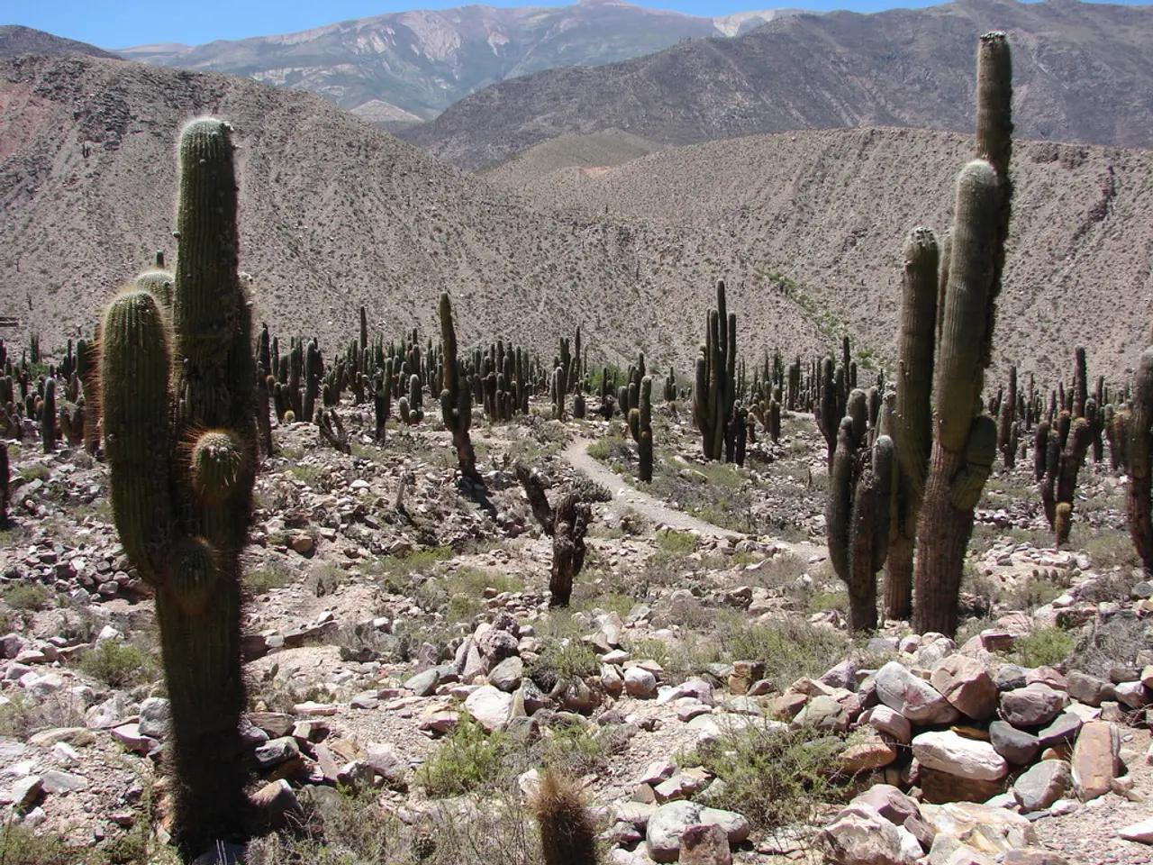
In the heart of California's Coachella Valley, the Cactus to Clouds trail presents a challenging yet rewarding hike for adventurous spirits. This trail, which starts in downtown Palm Springs and ascends over 10,000 feet to the summit of Mt San Jacinto, is best tackled during the spring and fall months.
The trail's strenuous 14-mile ascent and about 5 miles descent to the tramway station make it a formidable feat, especially in the extreme heat of summer or the dangerous snow and ice conditions of winter. Summer months in Palm Springs can reach scorching temperatures, making the lower elevations hazardous for hikers, while winter and early spring may bring snow and ice hazards near the summit.
Spring and fall provide more moderate temperatures across the entire elevation range, making hiking safer and more enjoyable. While no specific months are stated directly, the common best practice for desert-to-mountain hikes like this one parallels recommendations for other regional challenging hikes, which advise spring and fall for optimal conditions.
Local hiking guides and forums typically recommend avoiding the summer heat and winter snow for the Cactus to Clouds trail. The best time to hike is generally from late March through early June and from late September through early November, when weather is moderate, and trail conditions are safe and manageable.
The modern-day Cactus to Clouds hike began in 1991 when members of the Coachella Valley Hiking Club revived the trail and started leading hikes there. The hike uses the Museum and Skyline trails, with other routes like the North Lykken Trail being less popular and potentially more challenging.
To conquer this demanding route, the hike should be mentally broken into sections and tackled one at a time, with distances and elevations serving as a rough guide. It's usually wise to leave before dawn to give yourself enough time to complete the hike and adjust for the cooling temperature as you climb.
The Cactus to Clouds hike is rated as one of the hardest day hikes in the world. The lower parts of the hike are on the Aqua Caliente Indian Reservation. A large stretch of the hike is on the Skyline Trail, which is not an officially sanctioned trail but public access is allowed and it is maintained by local hikers.
Hiking with a headlamp can make it challenging to follow the trail, so hikers should have a few GPS options to cross-check their position. If hikers are tired or have doubts, they should turn around. In ideal conditions, after the Rescue 1 checkpoint, hikers need to be 100% committed to hiking up to Long Valley.
The upper portion of the hike can become treacherous in the winter, with steep sections prone to falling ice and debris. Conditions can make the upper portion of the hike more of a mountaineering experience. The history of the Skyline Trail is unclear, but it is believed to have been a native Cahuilla trail or started by the CCC in the 1930s and abandoned.
Despite its challenges, the Cactus to Clouds trail offers a unique and unforgettable hiking experience. With the right preparation and timing, it can be a rewarding adventure for those seeking a test of their endurance and a connection with nature.
- The Cactus to Clouds trail, one of the hardest day hikes in the world, starts in downtown Palm Springs and ascends to the summit of Mt San Jacinto, covering trails like the Museum and Skyline trails.
- To ensure safety and enjoyment, local hiking guides recommend tackling this trail during the spring and fall months, when weather conditions are more moderate.
- Hikers should be aware that the trail's strenuous 14-mile ascent and 5-mile descent can make it a formidable feat, especially in summer's extreme heat or winter's snow and ice conditions.
- Navigation is crucial on this hike, and hikers should consider using multiple GPS options to cross-check their position, especially when hiking in the dark or during the winter when trails can become treacherous with falling ice and debris.
- Trailheads for this challenging hike can be found on the Aqua Caliente Indian Reservation, and the trail's history suggests it may have once been a native Cahuilla trail or started by the CCC in the 1930s.
- Completing the Cactus to Clouds hike requires a lifestyle of adventurous spirit, proper preparation, and a commitment to tackle the trail section by section, starting before dawn to adjust for cooling temperatures as you climb.


